
Visited: Sept 2023
Nearby town: Kahului, HI
E ala e, ka la i ka hikina
I ka moana, ka moana hohonu
Pi'i ka lewa, ka lewa nu'u
I ka hikina, ala ka la, e ala e
-Traditional Hawaiian sunrise chant
"Arise, the sun in the east
from the ocean, the deep ocean
Climbing to heaven, the highest heaven
In the east, there is the sun, arise!"
At over 10,020 ft, Haleakala Summit is the highest point on the island of Maui. Haleakala (which means "house of the sun") was the 56th National Park that Tara and I have visited.

The park was established in 1916. It is made up of two main areas: (1) the summit crater of Haleakala; and (2) the Kipahulu District along the eastern coast of the island at the base of the mountain. This blog post will focus on the summit. I will devote a subsequent blog post to our visit to the Kipahulu District.
One of the most spectacular experiences we have had in visiting the National Parks was watching the sunrise at the Haleakala summit. I highly recommend doing this. You will need to get a permit in order to enter the park to catch the sun rise (we found the process to be relatively simple, just go to recreation.gov and it only costs a few dollars. Tickets become available up to 60 days in advance, additional tickets will open up 48 hours prior).
It was a VERY early start. We left our hotel at around 3 am. The road goes all the way to the top of the summit. It's a very windy road, so it takes a while to get to the top. You're going to want to be at the summit by 5:30 or so in order to experience the entire sunrise (in Hawaii, sunrise begins approximately at 6:00 am year-round). Also, prepare for cold weather at the summit. When we arrived, it was still dark. There is a small visitors center at the summit.


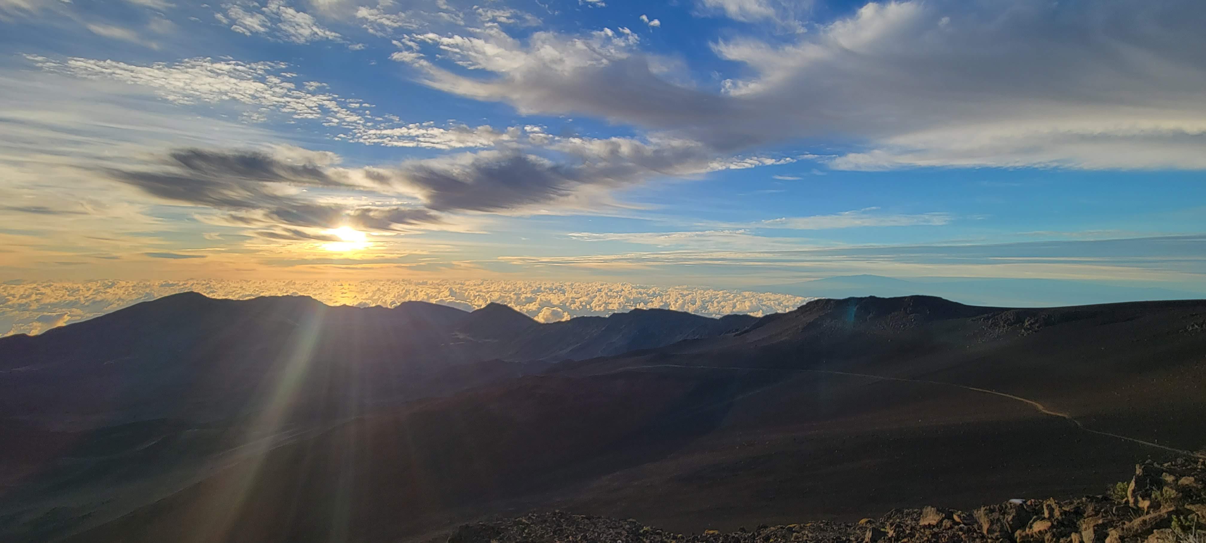
Thankfully, we had clear enough skies for a beautiful and unobstructed view of the sunrise. As the first rays exploded above the horizon, the park ranger sang the traditional Hawaiian sunrise chant "E Ala E." As the sun rose over a sea of clouds, it was like we were standing on top of the world. It was breathtaking. A moving, spiritual experience.


the dawn breaking


we were tired...but happy 😀




the visitor center at the summit


Haleakala is a dormant volcano, its last eruption was over 400 years ago. There is an observatory at the summit, just outside the Park boundaries. Haleakala is home to many endemic species of flora and fauna, including the silversword. This unique plant is a relative of the sunflower. It blooms upon reaching maturity after seven years, growing a stalk that can reach up to 8 ft tall. The silversword has adapted well to this harsh environment.


these small birds are called chukars

the Haleakala silversword


the silversword can grow quite tall


the observatory at the summit

from the parking lot, it's a quick jaunt to the very top of the summit: 10,023 feet


if you have time, the parking lot is the trailhead for the Sliding Sands Trail. The trail descends over 2,500 ft into the crater. Remember, if you go down, the only way out is back up 😁 We just walked a few yards along the trail to get a small sample of it.


When you head back down, make sure to stop at the Kalahaku Overlook and the Leleiwi Overlook for outstanding views of the crater and the island of Maui. We also walked for about a mile along the Halemau'u Trail.

the Halemau'u Trailhead (elev. 7,990 ft)


looking into the crater along the Halemau'u Trail

Tara never tires of taking selfies 😆


Looking out to Kahului (the largest city on the island of Maui)


Another activity I highly recommend doing is a thrilling bike ride down Haleakala. We booked our tour through Maui Sunriders. They were great! You'll start your ride just outside the main entrance to the park, at an elevation of about 7,000 ft. You will then ride down the switchbacks for incredible views of Maui. It was a little scary at first, but it was so much fun. Would absolutely do again.


we look like we are from outer space 😆😉


Once you have completed the switchbacks, you will descend to the small, charming farm town of Makawao. We stopped for a bit to explore the town. We then made our way down to the coast at the town of Paia.

downtown Makawao


stopped at this church outside of Paia


Haleakala towers over the horizon

stopped for cookies at this bakery in Makawao


We concluded our day with a hearty meal, hung out at the beach, and watched the sunset. What a day!

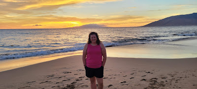


sunset at the beach near our hotel in South Maui


some refreshing shaved ice after the long bike ride


I went with the calamari for dinner

Tara had grilled mahi-mahi

Again, watching the sunrise at Haleakala was one of the most magical experiences we have had in our quest to visit every National Park.
For more info: https://www.nps.gov/hale/index.htm


